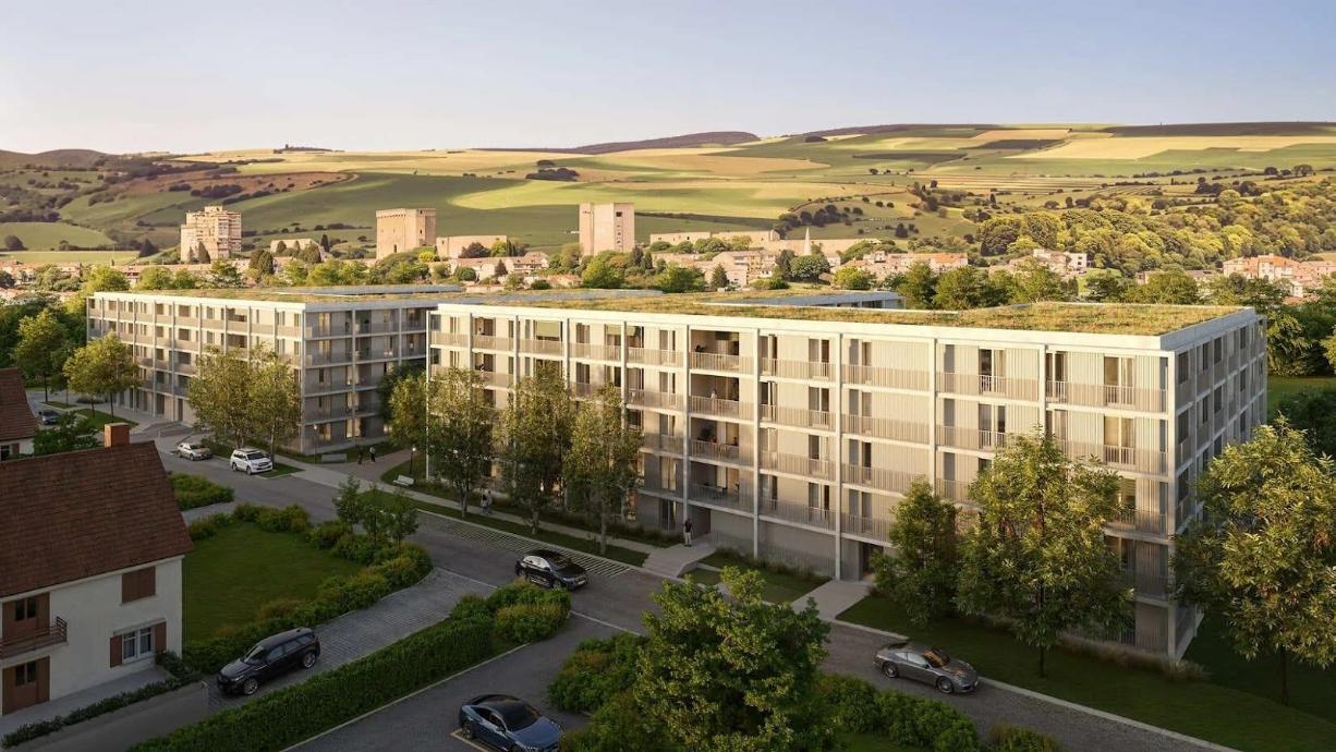
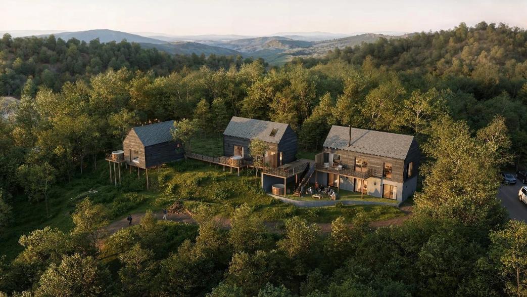
Aerial 3D renders have become a key resource in architectural and real estate workflows. They present a clear, elevated perspective of a project and the area that surrounds it. By placing the design within a realistic context model, these visuals show how a building relates to its environment and the structures nearby.
Table of Contents
Understanding Urban Context in 3D Renders
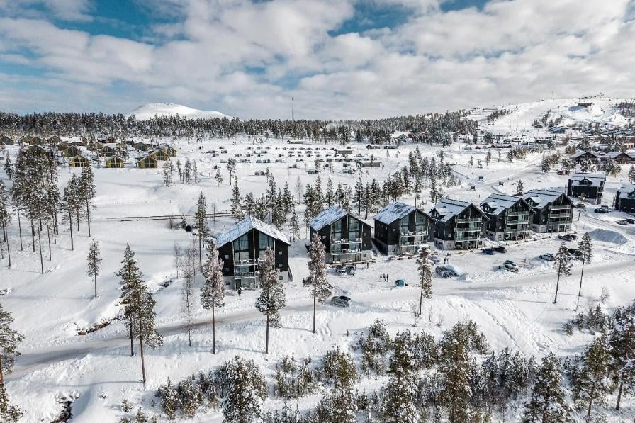
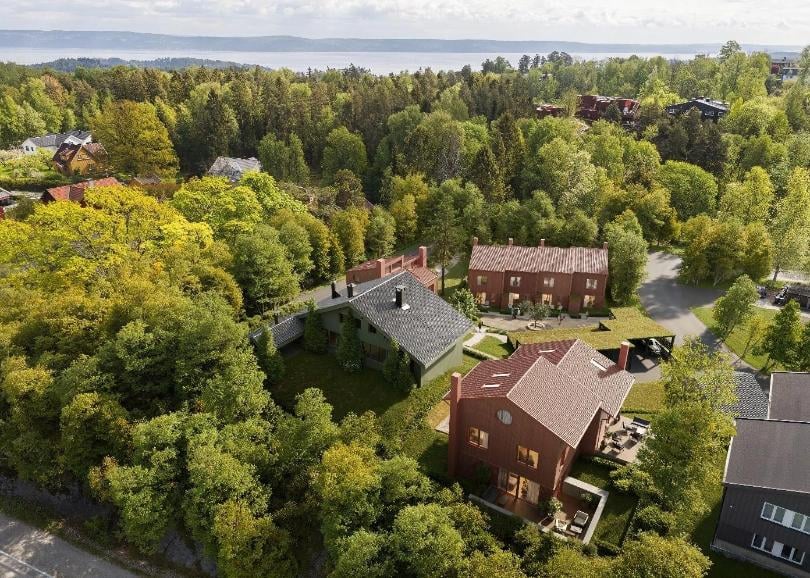
One of the most important elements in aerial visualization is the site context. It reveals how a building aligns with the surrounding fabric, from the layout of nearby streets to the scale of adjacent development. Instead of isolating the architecture, aerial view rendering shows its position within the neighborhood context.
When the render includes real buildings, parks, landmarks, and nearby public spaces, the whole scene feels natural instead of isolated. With the surroundings shown accurately, it becomes much easier to imagine how the project will actually work once it’s built.
Why Surroundings Matter in Aerial Visualizations
The surrounding fabric plays a major role in understanding scale. A structure viewed without reference can appear misleading, but when shown alongside existing development, its true proportions become obvious. This comparison helps illustrate the project’s impact on the area.
The surroundings also show how people will actually move through the area. Roads, walkways, entrances, and open spaces make it clear how the building connects to everything around it.
Key Benefits of Realistic Context
Accurate surroundings bring many advantages, including:
- Improved scale perception
- Clearer communication of design intent
- Better understanding of traffic and accessibility
- Stronger emotional connection with the viewer
- More convincing presentations for clients and investors
These benefits make urban context a vital part of any aerial 3D render. They help transform a simple visual into a strategic decision-making tool.
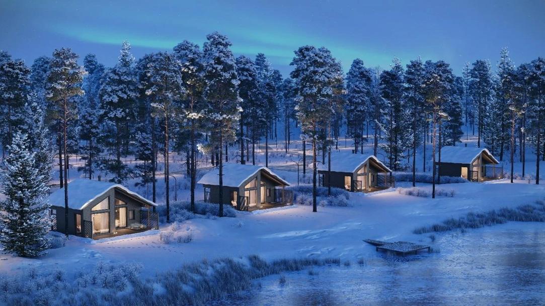
Enhancing Realism Through Environmental Details
Shadows, lighting, plants, and even the weather shape the overall mood of the image. When they’re adjusted properly, the render feels much closer to what someone would experience on-site.
Textures and materials play a big role too. Roads, rooftops, and nearby buildings need to look real, not generic. When these surfaces are modeled carefully, the entire scene feels more natural and believable.
Elements That Strengthen Realism
Artists often include the following elements to improve realism:
- Natural light and shadows
- Accurate building materials
- Detailed vegetation
- Pedestrians and vehicles
- Seasonal effects, such as summer greenery or winter lighting
These details make every part of the render feel intentional and true to life.
How Urban Context Supports Better Decision-Making
A strong urban context helps teams make better choices during the planning process. It shows how the project will affect and interact with its environment. This information allows teams to fix potential issues early. It also helps clients understand why certain design decisions were made.
Good aerial renders support smooth communication between architects, developers, and city officials. They also help avoid expensive revisions in later stages. When everyone sees the same clear visual, it becomes easier to agree on the next steps.
Practical Advantages for Projects
Urban context in aerial renders supports decisions by:
- Showing real spatial relationships
- Highlighting design strengths and weaknesses
- Simplifying stakeholder discussions
- Improving public presentations
- Reducing project uncertainties
This makes aerial rendering a valuable part of modern development workflows.
Urban context and surroundings play a central role in strong aerial 3D visuals. They provide scale, realism, clarity, and emotional impact. With accurate context, aerial view rendering becomes more than a tool for visualizing a building – it becomes a tool for understanding its place in the city.